Mapping the Scottish Seabed
On land, surveyors face challenges due to rough terrain, human activity, weather, and more. Usually, however, the ground beneath their tripods doesn’t move, they can physically occupy positions, and the air between them and their targets is transparent.
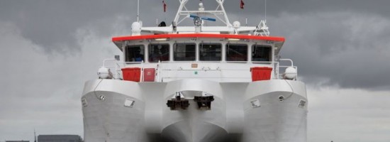
Hydrographers and bathymeters, by contrast, work on vessels that are constantly rolling, pitching, yawing, heaving, swaying, and surging, due to waves, currents, and winds. Their view of the bottom is impeded by tens, hundreds, or thousands of feet of water, sometimes turbid. Occupying a position would require diving with scuba gear, a submersible, or a submarine. Besides, GPS signals don’t travel underwater!
Additionally, ships that can carry large sonar systems cannot navigate in very shallow waters, and small vessels that can navigate those waters cannot carry that large equipment. A recent bottom survey project in the waters off the coast of Scotland’s western islands faced all of these challenges, plus an additional one: stitching together seven survey segments for each of 20 routes.