Beyond Terrain Models: LiDAR Enters the Geospatial Mainstream
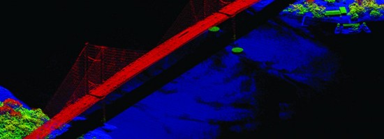
First used by NASA in the mid-1980s, light detection and ranging (LiDAR) has become an essential complement to photogrammetry for mapping and analyzing a vast range of surfaces. LiDAR started as a topographic tool on large scale projects, such as flood plain mapping, but in the past few years it has gained wide acceptance throughout the geospatial industry for a myriad of projects – including 3D urban modeling, feature extraction, tree identification and volumetrics, mapping bare earth under thick canopy, road delineation, forward looking for vehicles, mobile mapping, and carbon inventory. Ground-based LiDAR is becoming as common as aerial applications.
The pulse rate of LiDAR sensors continues to increase rapidly, producing huge datasets. This growth in data is outpacing the ability to analyze them, and software applications will need to catch up. Meanwhile, LiDAR data is now being routinely fused with data from other sensors, especially multi-spectral and hyper-spectral cameras.