• Home
  • About
    • About PBD
    • What Are Geospatial Technologies?
    • Matteo Luccio’s Bio
    • Conferences
    • Our Name
  • Topics
    • 3D imaging
    • Aerial photography
    • Bathymetry
    • Building Information Modeling (BIM)
    • CAD
    • Energy
    • Cadaster
    • Environment
    • Geodesy
    • GIS
    • LiDAR
    • Mapping
    • Navigation
    • Open source software
    • Other
    • Photogrammetry
    • Precision agriculture
    • Radar
    • Remote sensing
    • Satellite imaging
    • Satellite navigation
    • Seismology
    • Sensors
    • Surveying
    • UAS
    • Tracking
  • Magazines
    • Apogeo Spatial
    • ArcNews
    • ArcWatch
    • CE News
    • Earth Imaging Journal
    • GEOInformatics
    • GeoWorld
    • GIM International
    • Heights
    • Informed Infrastruct.
    • Imaging Notes
    • Point of Beginning
    • Prof. Surveyor Mag.
    • Sensors & Systems
    • The American Surveyor
    • xyHt
  • Formats
    • Feature articles
    • Short articles
    • Interviews
    • News items
    • Other
  • All
  • Clients
  • Tips
    • Gripes
    • Tips
  • Contact Us
 

Extraterrestrial Photogrammetry

Posted by: Matteo    Tags:      Posted date:  July 8, 2014  |  No comment


On Earth, photogrammetrists can normally use manmade objects in their frame—such as a road of known width or a curb of known height—as scales. When none are present, they can insert such “ground truth” as needed—for example, by placing onto surveyed locations targets that will be visible in their images. On other planets in our solar system, however, such human artifacts are not (yet) available to photogrammetrists—nor can they easily move cameras around to generate many images of the same spot from different angles.

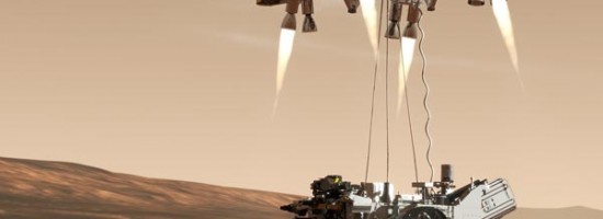
When NASA’s Marshall Space Flight Center wanted to measure the depth of the craters created by the Curiosity Rover’s landing in Mars’ Gale crater from photographs taken by the rover’s two navigation cameras (navcams), the only high precision scale information that photogrammetrists had was the distance between those cameras. The only other control data they had was the width of the rover tracks, which were visible in some of the imagery. To solve this puzzle, Cardinal Systems, a mapping software developer, created sophisticated new algorithms; these can now also be used to extract accurate measurements from photos taken with inexpensive consumer cameras and/or from unstable platforms, such as small unmanned aerial systems (UAS) in strong winds.

Read more…


Want to say something?


  Cancel Reply


− 8 = one

« State of: Precision Agriculture
Mapping People: Human Landscape »


Copyright (c) 2012 by Pale Blue Dot, LLC / For information write to matteo@palebluedotllc.com