Satellite Signals Steer Farmers Straight
Precision agriculture combines GPS, remote sensing, and GIS to capture large amounts of georeferenced data on spatial variations in soil types, moisture content, nutrient availability, and crop yields and then create and follow prescription maps.
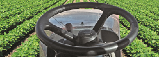
Until recently, it was difficult for growers to correlate soil and crop information with production techniques, so they generally treated their fields uniformly. Precision agriculture, also known as site-specific farming, enables them to micromanage their fields and apply water, pesticides, herbicides, and fertilizers at a variable rate, which cuts expenses, increases yields, and reduces environmental harm from farming. Navigation equipment on tractors, combines, sprayers, and other farm machinery displays field maps and prescription maps and automatically guides the machinery—this is most commonly referred to as auto-steer.
Additionally, growers use GPS and GIS to scout crops, plan farm operations, and work when visibility is low, such as in rain or dust storms, in the fog, and at night. Growers and crop advisers also use GPS receivers to map roads, field boundaries, irrigation systems, weeds, pest infestations, diseased plants, distances, and the acreage of field areas, as well as to navigate accurately back to specific field locations to monitor crop conditions and collect soil samples. GPS-equipped crop dusters are able to fly accurate swaths over fields without endangering human flaggers and while minimizing the amounts of chemicals sprayed and their drift.