The Vanishing Divide: New solutions bridge the gap between CAD and GIS.
For decades, computer-aided design (CAD) and geographic information systems (GIS) have been like oil and water.
CAD users, who see their work as engineering-based, focus on very accurate measurements and high-precision placement. They view GIS as neither accurate nor precise. GIS users, who see their work as larger scale and more cartographic in nature, cannot achieve the same accuracy over large geographies. While CAD is mostly about points and lines, GIS is also about polygons, imagery, and colors used to convey large amounts of information. While both have attributes and layers, users treat them and store them differently.
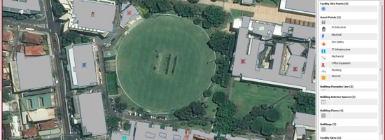
In recent years, building information modeling (BIM) has emerged as a third parallel universe in the architecture, engineering, and construction (AEC) sector.
Ultimately, full integration of CAD, GIS, and BIM is both desirable and inevitable because planners, architects, engineers, and contractors need all the details of location, size, shape, materials, and infrastructure. It is also much more efficient to have systems with similar file structures so that they can more easily be stored in central databases.