Satellite Imagery for Precision Agriculture
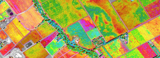
Precision agriculture consists primarily of using geospatial technologies to map spatial variations in crop and soil conditions and to match inputs—such as water, seed, and fertilizer—to those variations by applying them at variable rates. The link between the spatial variations and the variable rates are zone maps and prescription maps. The former show the difference between healthy and stressed plants by representing the amount of light they’re reflecting in different bands of the electromagnetic spectrum. The latter tell growers how much input to apply to each one of small areas known as management zones.
The data used to create zone maps is collected by sensors on the ground and in the sky. The advent of unmanned aerial systems (UAS) and the sharp increase now taking place in the number of Earth observation satellites are increasing the quantity and quality of these data that are available to growers and agricultural consultants. This bird’s-eye view helps them swiftly detect in-season problems with nutrient deficiencies, pests, or disease, giving them the best opportunity to
correct factors that could limit crop performance and compromise yield potential.
Until recently, the usefulness of satellite remote sensing to growers was limited by long re-visit times, cloud cover, total cost, poor spatial resolution, and insufficient techniques and facilities to process imagery for agricultural applications. Some farm management decisions, such as weed detection and management, require imagery with a spatial resolution in the order of centimeters and, for emergent situations (such as to monitor nutrient stress and disease), a temporal resolution of less than 24 hours.