• Home
  • About
    • About PBD
    • What Are Geospatial Technologies?
    • Matteo Luccio’s Bio
    • Conferences
    • Our Name
  • Topics
    • 3D imaging
    • Aerial photography
    • Bathymetry
    • Building Information Modeling (BIM)
    • CAD
    • Energy
    • Cadaster
    • Environment
    • Geodesy
    • GIS
    • LiDAR
    • Mapping
    • Navigation
    • Open source software
    • Other
    • Photogrammetry
    • Precision agriculture
    • Radar
    • Remote sensing
    • Satellite imaging
    • Satellite navigation
    • Seismology
    • Sensors
    • Surveying
    • UAS
    • Tracking
  • Magazines
    • Apogeo Spatial
    • ArcNews
    • ArcWatch
    • CE News
    • Earth Imaging Journal
    • GEOInformatics
    • GeoWorld
    • GIM International
    • Heights
    • Informed Infrastruct.
    • Imaging Notes
    • Point of Beginning
    • Prof. Surveyor Mag.
    • Sensors & Systems
    • Septentrio Insights
    • The American Surveyor
    • xyHt
  • Formats
    • Feature articles
    • Short articles
    • Interviews
    • News items
    • Other
  • All
  • Clients
  • Tips
    • Gripes
    • Tips
  • Contact Us
 

Remote Sensing by Remote Control: UAVs Become Invaluable Assets

Posted by: Matteo    Tags:      Posted date:  October 1, 2009  |  No comment


When Somali pirates hijacked the U.S. freighter Maersk Alabama and took Capt. Richard Phillips hostage in April, a U.S. Navy ScanEagle unmanned aerial vehicle (UAV) built by Boeing’s Insitu unit took video footage of the developing situation. Predator and Reaper UAVs have been in the news recently because the U.S. military has used them to launch missile strikes, such as the one that reportedly killed Osama Bin Laden’s son, against Al-Qaeda and Taliban targets in Afghanistan and Pakistan.

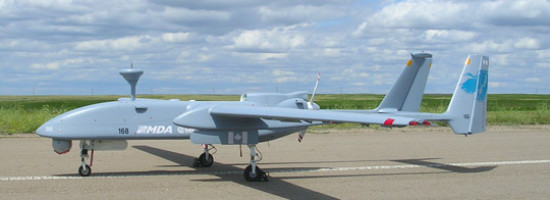
Less publicized is the extensive use of UAVs by the U.S. military for “dull, dirty, or dangerous” surveillance tasks for which they are better suited than piloted aircraft. Real-time images and videos are increasingly used for remote surveillance, intelligence gathering, situational awareness, and decision-making. “At the receiving end, the amount of data available is increasing exponentially,” says Kevin Kelleher, airborne integration lead for the National System for Geospatial Intelligence (NSG) at the National Geospatial-Intelligence Agency (NGA).

Read more…


Want to say something?


  Cancel Reply


+ eight = 13

Portland, Oregon, Trailblazes a Successful Regional GIS »


Copyright (c) 2012 by Pale Blue Dot, LLC / For information write to matteo@palebluedotllc.com