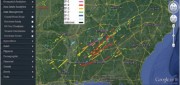
Satellite imaging

Radiant.Earth
November 6, 2018
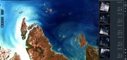
Nonprofits working on global development issues have had great difficulty acquiring and using a staple source of geospatial...
November 6, 2018
Nonprofits working on global development issues have had great difficulty acquiring and using a staple source of geospatial...
Geospatial Analytics-as-a-Service & Platforms
February 7, 2018
The field of Earth Observation (EO) has seen two big changes in recent years: first, the massive increase in the number and variety...
February 7, 2018
The field of Earth Observation (EO) has seen two big changes in recent years: first, the massive increase in the number and variety...
THE INSIDE STORY: Google Earth Enterprise Goes Open Source
August 4, 2017
On March 20, 2015, Google deprecated Google Earth Enterprise (GEE), which had contributed greatly to the market for geospatial...
August 4, 2017
On March 20, 2015, Google deprecated Google Earth Enterprise (GEE), which had contributed greatly to the market for geospatial...
FINAL ARTICLE IN THE SERIES on Geospatial Processing & Visualization: Ubisense and Harris Geospatial Solutions
August 4, 2017
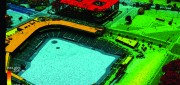
The line between vendors of geospatial software and providers of geospatial data is increasingly blurred, as more companies...
August 4, 2017
The line between vendors of geospatial software and providers of geospatial data is increasingly blurred, as more companies...
Imagery Companies Become Information Companies
April 12, 2017
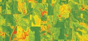
New analytics and the cloud benefit customers using the ultimate big data: imagery In the past few years, the number of space-based...
April 12, 2017
New analytics and the cloud benefit customers using the ultimate big data: imagery In the past few years, the number of space-based...
Building “Digital Earth”
February 23, 2017
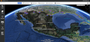
A new generation of geospatial intelligence helps to answer complex geographic questions Paper maps obsolesce rapidly from...
February 23, 2017
A new generation of geospatial intelligence helps to answer complex geographic questions Paper maps obsolesce rapidly from...

From Selling Pixels to Selling Answers
February 21, 2017
This series of articles began in our Fall 2015 issue by focusing on the impact on vendors and users of geospatial technologies...
February 21, 2017
This series of articles began in our Fall 2015 issue by focusing on the impact on vendors and users of geospatial technologies...

Freeing Slaves from the High Seas
February 21, 2017
In May 2015, former slave fisherman Myint Naing, 40, was reunited with his family after 22 years. He was among hundreds of former...
February 21, 2017
In May 2015, former slave fisherman Myint Naing, 40, was reunited with his family after 22 years. He was among hundreds of former...
Automating the Mundane
January 19, 2017
You don’t have to work for huge organizations, such as the U.S. Air Force or the U.S. Forest Service, to appreciate the benefits...
January 19, 2017
You don’t have to work for huge organizations, such as the U.S. Air Force or the U.S. Forest Service, to appreciate the benefits...

Geospatial Solutions: from PIXIA, Luciad, and BAE Systems
October 10, 2016
This series began a year ago by examining alternatives to Google Earth Enterprise, which Google will stop supporting on March...
October 10, 2016
This series began a year ago by examining alternatives to Google Earth Enterprise, which Google will stop supporting on March...